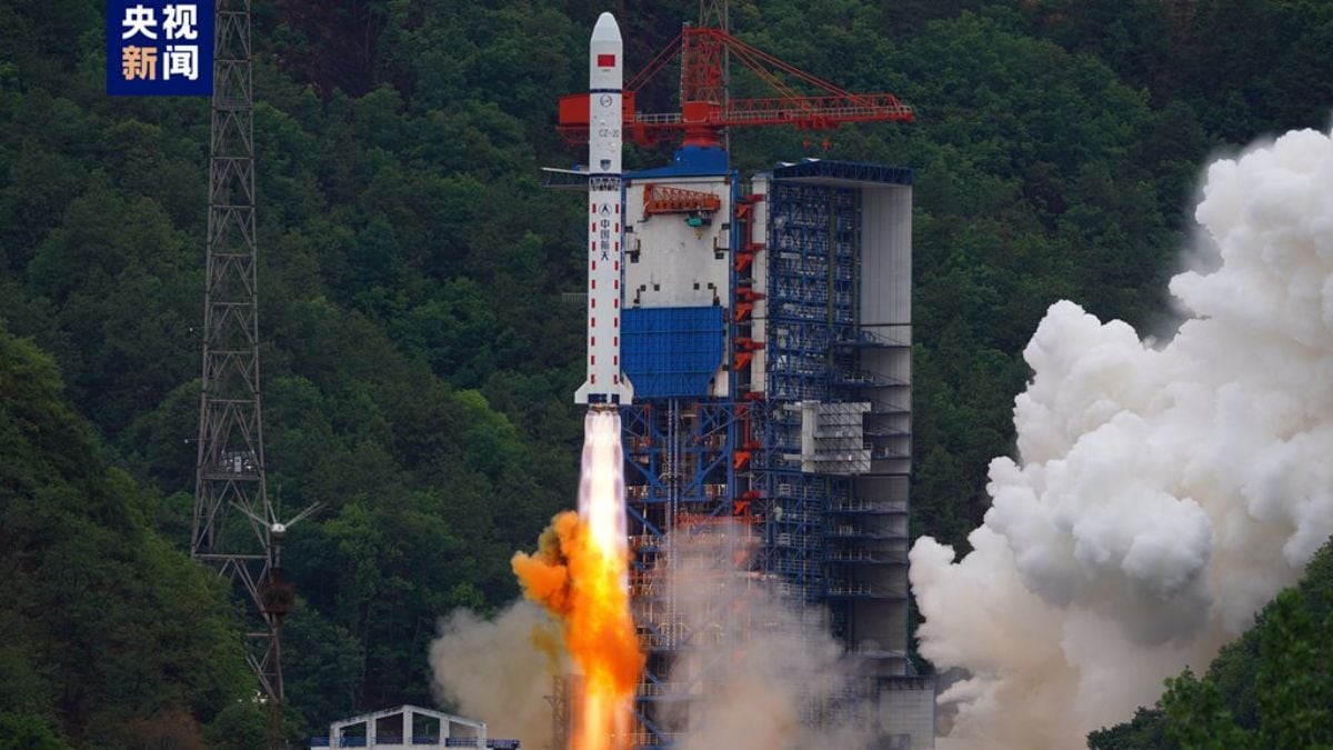
China successfully launched Pakistan’s first dedicated remote sensing satellite, PRSS-01, aboard a Kuaizhou-1A rocket from the Xichang Satellite Launch Center in Sichuan. The satellite entered its planned orbit and will provide high-resolution imaging for civilian and governmental uses, including urban planning, land surveys, environmental monitoring, and rapid disaster response. Engineers from both countries collaborated closely on the mission, reflecting deepening China-Pakistan technological ties. The launch highlights Pakistan’s growing ambitions in space and the importance of satellite-based data in modern infrastructure and emergency planning. It also strengthens China’s position as a global provider of commercial launch services and supports its broader Belt and Road Initiative by fostering regional cooperation in advanced space technologies.